$6,500,000
6Bedrooms
7Bathrooms
603 m²Living area
680,000 m²Lot size
10Parking

 Client area
 For sale
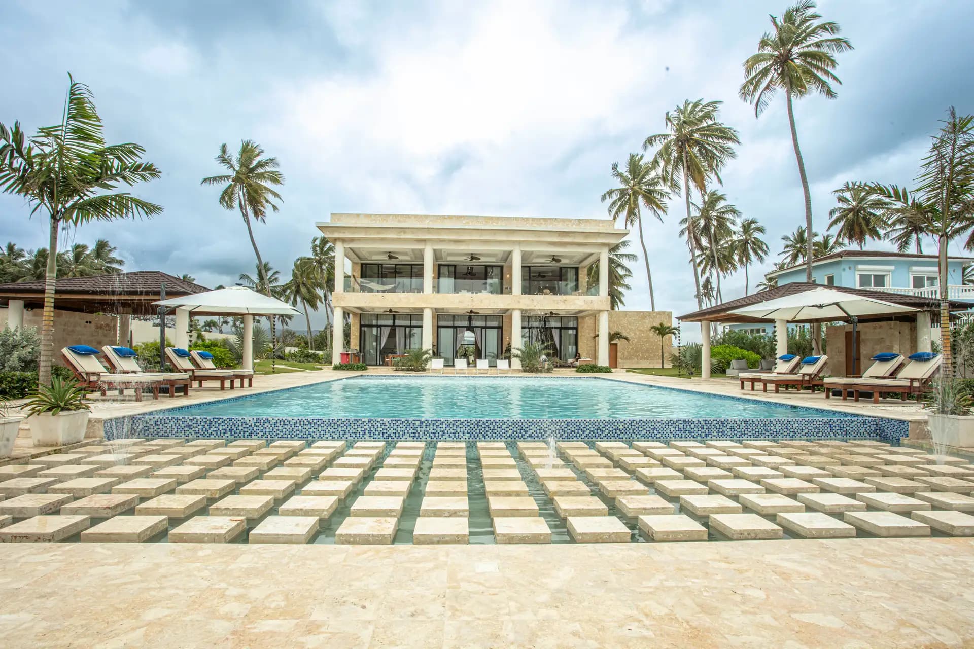 For sale
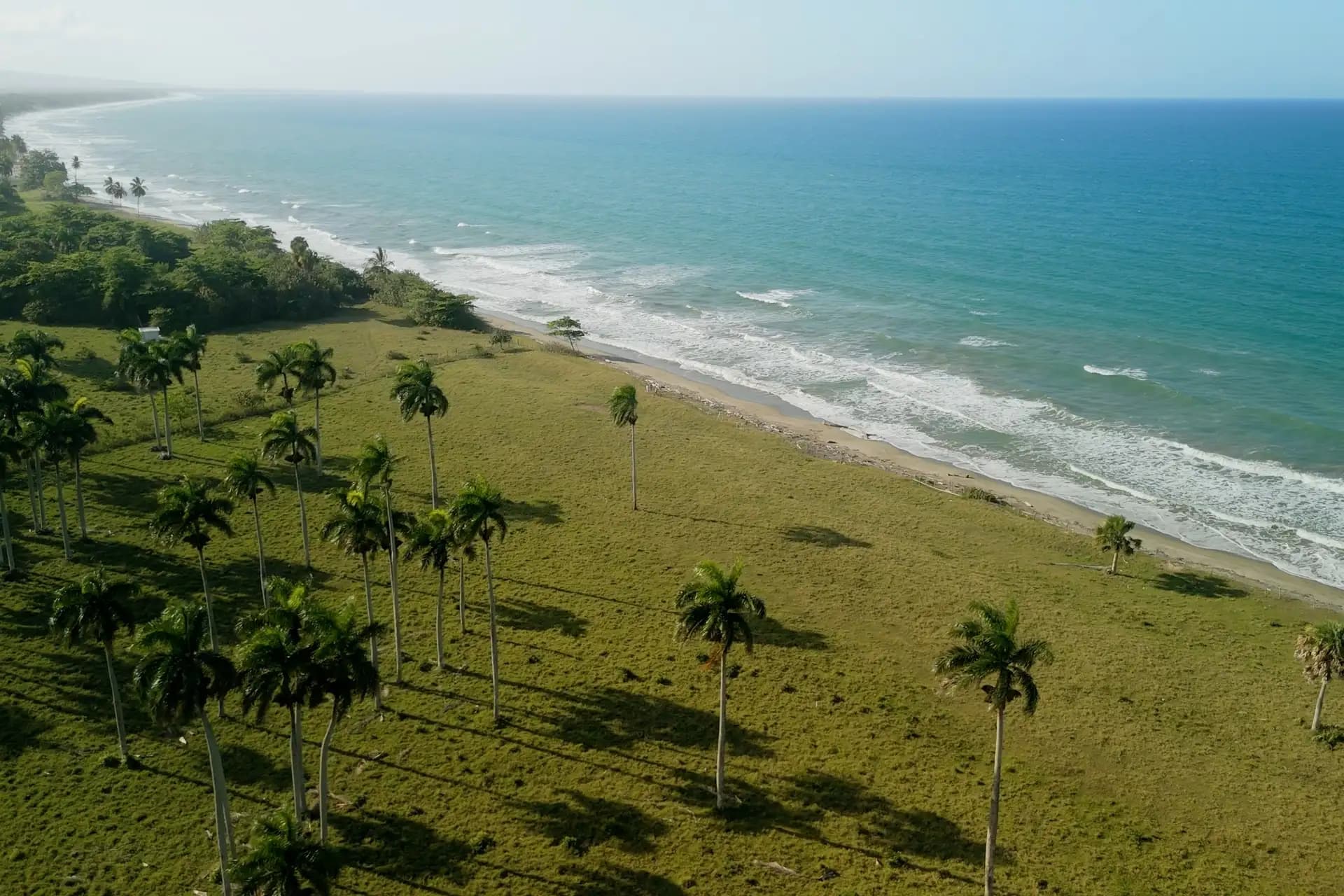 For sale
Gaspar Hernández is a municipality in Espaillat province on the north coast of the Dominican Republic. The present municipality was founded on 5 April 1907 at a place then called Canto La Ermita and was named after Gaspar Hernández, a Peruvian priest and associate of Juan Pablo Duarte.
The municipality covers about 366 km² and had 57,302 inhabitants in 2012, around 37,850 of them in the urban area. Its economy is based mainly on cattle and pig farming and on crops such as cocoa, bananas, maize and cassava, with some fishing and tourism.
The coast east of town includes Playa Magante, a palm-lined beach between Gaspar Hernández and Río San Juan. Ecotourism centres on the Ojo de Agua district, which has caves and natural springs.
The road distance to Gregorio Luperón International Airport (POP) is about 44 km, which route planners estimate at roughly 40 minutes by car.
It is primarily an agricultural town, known for cattle farming and cocoa, with the Joba Arriba district as its largest cocoa producer. It is less developed for tourism than Sosúa or Cabarete.
Yes. Playa Magante lies on the coast between Gaspar Hernández and Río San Juan and is described as a long, palm-shaded beach behind a reef.
Tell us your budget and what you need — an agent who knows Gaspar Hernández will get back to you.